Shopping Cart
There are no more items in your cart
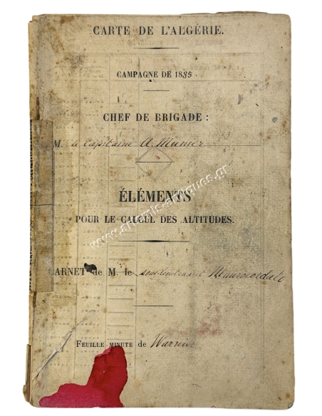


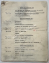
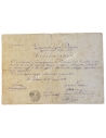
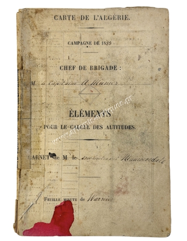
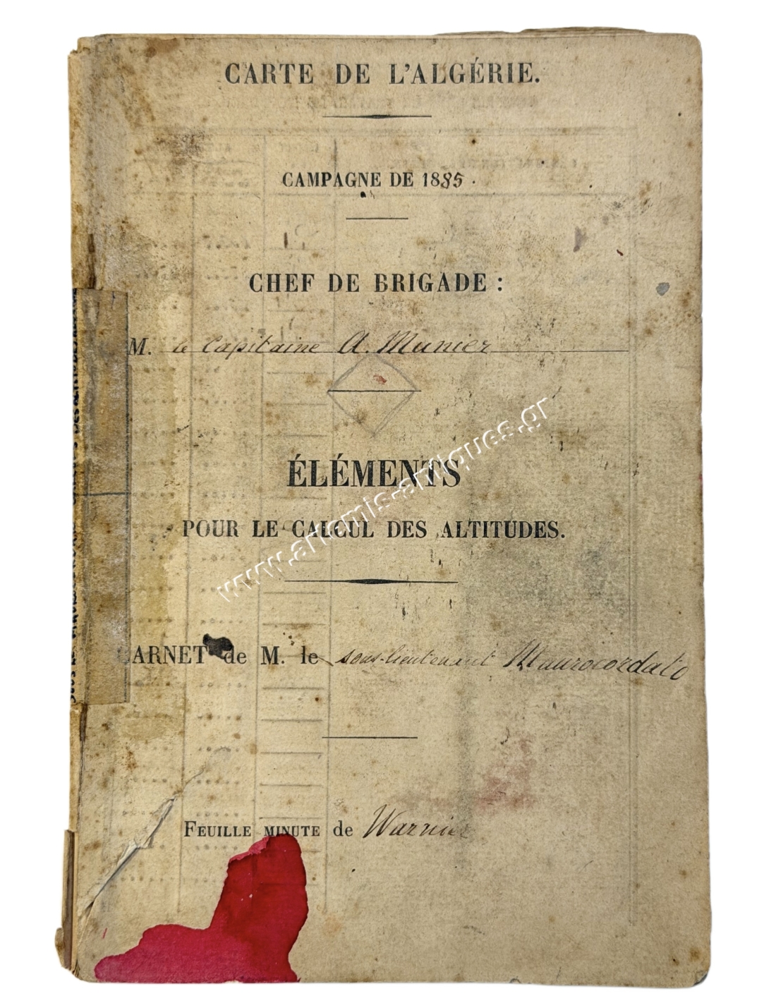
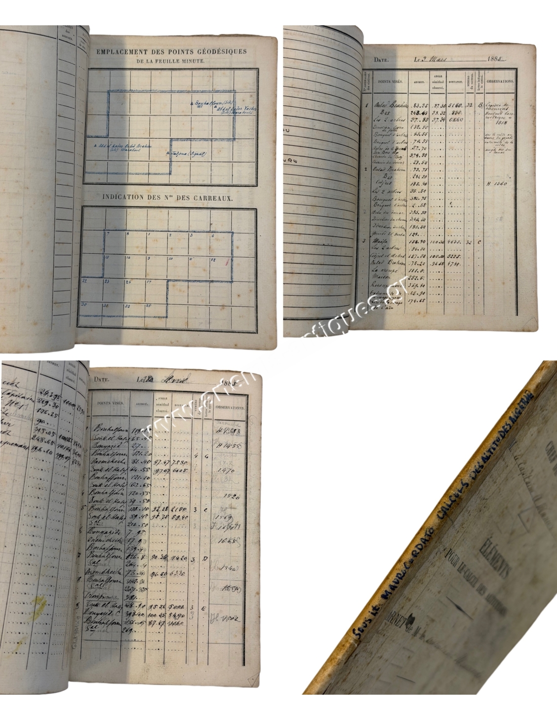
Calculations of the altitudes of Algeria by Alexandros N. Maurocordatos 1885
A French booklet with inscription "Carte de l'Algérie –Campagne de 1885 –Chef de Brigade Capitaine A.Munier –Éléments pour le calcul des altitudes –Carnet de M. le sous-lieutenant Maurocordato –Feuille minute de Warniet"
Map of Algeria –1885 Campaign –Brigade Commander: Captain A. Munier –Data for calculating altitudes –Notebook of Second Lieutenant Mavrocordatos –Field survey sheet by Warniet
Alexandros N.Mavrocordatos (1862–1895) was the grandson of the fighter of the same name, who fought in the 1821 War of Independence, and studied advanced military engineering in France. In 1885 he was sent to Algeria to conduct cartographic and topographic work for the French Army. In 1888, as an Infantry second lieutenant, he authored an exceptional 700-page book titled "Military Topography," intended for students at the then-newly established School for Non-Commissioned Officers. In 1889, he submitted the sheets for the "Mavrocordatos Map"—the first map produced entirely by Greeks since 1821.
You might also like
Calculations of the altitudes of Algeria by Alexandros N. Maurocordatos 1885
You might also like